2013-2015年CARVE活动中的地球参考辐射计数测量结果

CARVE: L1 Airborne Forward Looking Infrared Radiance Counts, Alaska, 2013-2015
简介
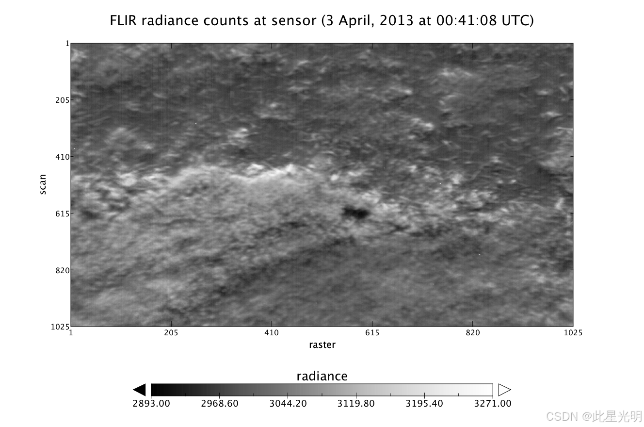
该数据集提供了 2013 年 4 月至 2015 年 11 月期间 CARVE 飞机上的前视红外(FLIR)热像仪为北极碳库脆弱性实验(CARVE)测量的地球参考辐射计数。FLIR 热像仪记录地表温度图像,同时测量大气中的二氧化碳、甲烷和臭氧浓度。FLIR 热像仪的热图像将用于表征冻融循环特定阶段中永久冻土覆盖的地表。该数据集中包含的测量数据对于理解北极碳循环的变化以及北极永久冻土融化带来的潜在威胁至关重要。这些测量结果是 CARVE 活动所搭载的创新型多仪器遥感有效载荷的一部分。
摘要
Table 1. CARVE file naming convention. Example file name: carve_FLIR_L1A_b23_20130403_000011_20160304004404124.nc
| Name element | Example value | Units |
| Project name | carve | |
| Instrument | FLIR | |
| Processing level | L1A | |
| Build ID | b23 | |
| File date * | 20130403 | yyyymmdd |
| File number ** | 000011 | ###### |
| Processing date and time | 20160304004404124 | yyyymmddhhmmss |
* Data from a single flight is spread across multiple files.
** Files are numbered in order that the data were collected
Table 2. Global metadata attributes for NetCDF files
| Attribute Name | Description |
| ancillary_file_source | List of ancillary data products used to generate the current product |
| build_id | Software build |
| collection_label | Collection label |
| comment | Miscellaneous information about the data or methods |
| conventions | Documents describing sets of discipline-specific conventions |
| data_start_time | Date and time of first data element in the file: yyyy-mm-ddThh:mm:ss.sssZ |
| data_stop_time | Date and time of last data element in the file: yyyy-mm-ddThh:mm:ss.sssZ |
| frequency_of_sampling | "1 second - < 1 minute" |
| history | Audit trail for modifications to the original data |
| institution | Specifies where the original data was produced |
| instrument | Instruments with data contained in the file |
| long_name | Long name of the product type |
| master_quality_flag | Succinct assessment of the quality of the data in the file: "Good", "Bad", or "UNK" |
| product_source | List of source data products used to generate the current product |
| production_date_time | Date and time when product was created: yyyy-mm-ddThh:mm:ss.sssZ |
| processing_level | Processing level of the data |
| references | References |
| sampling_interval | "Grab" |
| short_name | Short name of the product type |
| source | Method of production of original data |
| specification_name | The name of the document describing product contents |
| specification_version | Version of the document describing the product contents |
| title | Succinct description of data set contents |
Data variables
Each file contains 14 geolocation variables and 1 science measurement variable described in Table 3. Metadata attributes for the radiance variable, including polynomial conversion coefficients for converting digital numbers to standard units, are described in Table 4.
Table 3. Data variables in each netCDF file. Fill value or missing data were set to -999.9 for all variables.
| Variable | Units | Description |
| Geolocation measurements | ||
| center_lat | degrees_north | Latitude of footprint center |
| center_lat_standard_error | degrees_north | Standard error of latitude of footprint center |
| center_lon | degrees_east | Longitude of footprint center |
| center_lon_standard_error | degrees_east | Standard error of longitude of footprint center |
| geolocation_qc | 0: Success; 1: Error | Geolocation calculations status |
| heading | degree | Aircraft heading |
| heading_qc | 0: Valid; 1: OutOfRange; 2: Error | Aircraft heading status |
| height | meters | Aircraft height |
| height_standard_error | meters | Standard error of aircraft height |
| pitch | degree | Aircraft pitch angle |
| pitch_qc | 0: Valid; 1: OutOfRange; 2: Error | Aircraft pitch angle status |
| roll | degree | Aircraft roll angle |
| roll_qc | 0: Valid; 1: OutOfRange; 2: Error | Aircraft roll angle status |
| time | seconds since 1980-01-06 0:0:0 | Measurement time UTC |
| Science measurements | ||
| radiance | Counts | FLIR radiance counts at sensor |
Table 4. Metadata attributes for the radiance variable in the NetCDF files.
| Attribute Name | Description |
| long_name | Variable long name |
| _FillValue | Null data fill value |
| MinCounts | Minimum radiance value [digital number] |
| MaxCounts | Maximum radiance value [digital number] |
| MinRadiance | Minimum radiance value [W/(sr*cm2)] |
| MaxRadiance | Maximum radiance value [W/(sr*cm2)] |
| valid_min | Minimum valid radiance value [digital number] |
| valid_max | Maximum valid radiance value [digital number] |
| BandpassLow | Minimum integration wavelength [nm] |
| BandpassHigh | Maximum integration wavelength [nm] |
| units | Radiance units |
| C0 | zero-degree polynomial conversion coefficient [DN to W/(sr*cm2)] |
| C1 | first-degree polynomial conversion coefficient [DN to W/(sr*cm2)] |
| C2 | second-degree polynomial conversion coefficient [DN to W/(sr*cm2)] |
| C3 | third-degree polynomial conversion coefficient [DN to W/(sr*cm2)] |
| C4 | fourth-degree polynomial conversion coefficient [DN to W/(sr*cm2)] |
| C5 | fifth-degree polynomial conversion coefficient [DN to W/(sr*cm2)] |
| C6 | sixth-degree polynomial conversion coefficient [DN to W/(sr*cm2)] |
| radiance_coefficients | non-zero radiance conversion polynomial coefficients |
| AtmA1 | For internal use only |
| AtmA2 | For internal use only |
| AtmB1 | For internal use only |
| AtmX | For internal use only |
| PolynomialOrder | For internal use only |
| B | For internal use only |
| R | For internal use only |
| F | For internal use only |
| BGValue | For internal use only |
| FrameRate | For internal use only |
| MinTemperature | For internal use only |
| MaxTemperature | For internal use only |
| TempC0 | For internal use only |
| TempC1 | For internal use only |
| TempC2 | For internal use only |
| IntegrationTime | For internal use only |
代码

- 点赞
- 收藏
- 关注作者
评论(0)