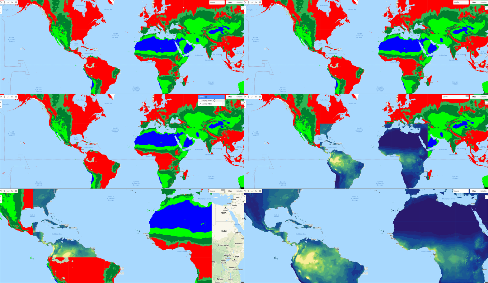
1970-2000年期间高分辨率(30角秒)的全球栅格气候数据
全球干旱度指数
全球干旱指数(Global-Aridity_ET0)和全球参考蒸发量(Global-ET0)第三版数据集提供了1970-2000年期间高分辨率(30角秒)的全球栅格气候数据,与潜在植物生长的蒸发过程和降雨量不足有关,基于参考作物的Penman Monteith蒸发量方程式的实施。该数据集是根据WorldClim 2.1在30角秒或赤道上~1公里处的发展而建立的。
干旱指数代表降水和ET0之间的比率,即降水超过植被需水量(按年度汇总)。在这种表述下,干旱指数值在更潮湿的条件下会增加,而在更干旱的条件下会减少。在全球干旱指数_ET0地理数据集中报告的干旱指数值已经乘以10,000的系数,得出数据并作为整数分配(小数点后4位)。这个乘数被用来提高变量值的精度,而不使用小数。
Global-AI_PET_v3数据集以标准的GeoTiff格式提供给非商业使用,在赤道上为30角秒或~1公里。
用于运行ET0和AI计算的Python编程源代码已提供,并可在Figshare上在线获得,网址是::
https://figshare.com/articles/software/Global_Aridity_Index_and_Potential_Evapotranspiration_Climate_Database_v3_-_Algorithm_Code_Python_/20005589
Data citation
Paper citation
Global-AI grid layers are available as monthly averages (12 data layers, i.e. one layer for each month) or as an annual average (1 data layer) for the 1970-2000 period.
Earth Engine Snippet
Sample Code:
| Aridity Index Value | Climate Class |
|---|---|
| <0.03 | Hyper Arid |
| 0.03-0.2 | Arid |
| 0.2-0.5 | Semi-Arid |
| 0.5-0.65 | Dry sub-humid |
| >0.65 | Humid |
License
The Global-Aridity_ET0 and Global-ET0 datasets are provided for non-commercial use under the CC BY 4.0 Attribution 4.0 International license.
Data Website: You can download the
Curated in GEE by: Samapriya Roy
Keywords: aridity index, evapotranspiration, geospatial modeling
Last updated: 2022-09-02
- 点赞
- 收藏
- 关注作者


评论(0)