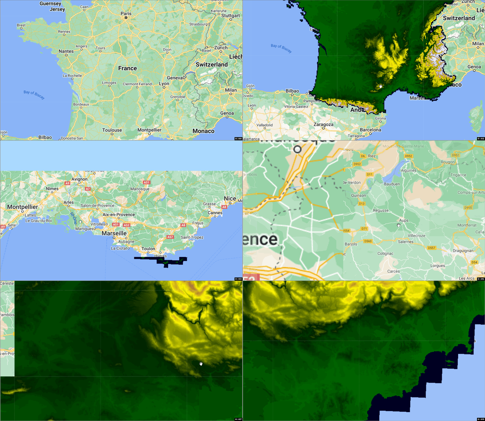
GEE数据集:法国(大陆)5米DEM IGN RGE Alti
法国(大陆)5米DEM IGN RGE Alti
RGE ALTI® 5米数据集描述了法国的地面高程,空间分辨率为5x5米。它由国家地理和森林信息研究所(IGN - https://www.ign.fr/)制作。IGN或国家地理和森林信息研究所,是国家地理和森林信息的运营商。该研究所介入支持公共风险预防和区域规划政策的评估和实施,完整的数据集描述可在此获得。RGE ALTI®是通过机载激光雷达获得的调查或通过航空图像的相关性进行更新。你可以在这里找到数据集描述。你也可以在这里找到该文件的谷歌翻译版本的英文。
数据集预处理
数据集由Guillaume Attard从ASCII文件中进行预处理,并转换为子区域数据集。然后,这些图像被合并为一个单一的地球引擎图像。
在ETALAB许可证下的建议引文
关于许可证和引文指南的其他信息可以在这里找到
文献引用:
Ministry of xxx—Original data downloaded from http://www.data.gouv.fr/fr/ datasets/xxx/, updated on 14 February 2017.
代码
代码链接:
License
The dataset is licensed under a . The “Reuser” is free to reuse the “Information” - to reproduce it, copy it, - to adapt, modify, extract and transform it, to create "Derived Information", products or services, - to communicate, distribute, redistribute, publish and transmit it, - to exploit it for commercial purposes, for example by combining it with other information, or by including it in its own product or application.
Created by: National Institute of Geographic and Forest Information (IGN)
Curated in GEE by: Guillaume Attard and Samapriya Roy
Keywords: digital elevation model, terrain, remote sensing, France
会议沙龙| 无人机植被遥感前沿技术与应用学习班[专家授课|限时报名]
- 点赞
- 收藏
- 关注作者


评论(0)