Google Earth Engine ——非洲土壤蒸发和截流(ETIa)数据集

The actual evapotranspiration and interception (ETIa) (dekadal, in mm/day) is the sum of the soil evaporation (E), canopy transpiration (T), and evaporation from rainfall intercepted by leaves (I). The value of each pixel represents the average daily ETIa in a given dekad.
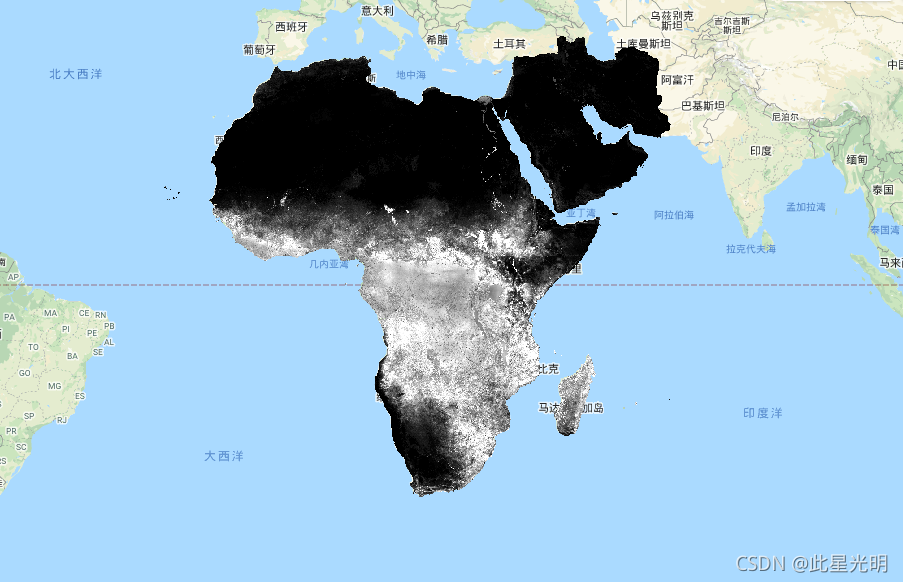
实际蒸发和截流(ETIa)(dekadal,单位:毫米/天)是土壤蒸发(E)、冠层蒸腾(T)和叶片截获的降雨蒸发(I)之和。每个像素的值代表一个特定dekad的平均日ETIa。
Dataset Availability
2009-01-01T00:00:00 - 2021-07-01T00:00:00
Dataset Provider
Collection Snippet
ee.ImageCollection("FAO/WAPOR/2/L1_AETI_D")
Resolution
0.00223 degrees
Bands Table
| Name | Description | Units | Scale |
|---|---|---|---|
| L1_AETI_D | Actual Evapotranspiration and Interception (Dekadal) [mm] | mm | 0.1 |
-
var coll = ee.ImageCollection('FAO/WAPOR/2/L1_AETI_D');
-
var image = coll.first();
-
Map.setCenter(17.5, 20, 3);
-
Map.addLayer(image, {min: 0, max: 50});
声明:
The Food and Agriculture Organization of the United Nations (FAO) is mandated to collect, analyze, interpret, and disseminate information related to nutrition, food, and agriculture. In this regard, it publishes a number of databases on topics related to FAO's mandate, and encourages the use of them for scientific and research purposes. Consistent with the principles of openness and sharing envisioned under the Open Data Licensing For Statistical Databases, and consistent with the mandate of FAO, data from the Water Productivity Open Access Portal (WaPOR), as part of AQUASTAT
- FAO's Global Information System on Water and Agriculture, is available free to the user community.
联合国粮食及农业组织(粮农组织)的任务是收集、分析、解释和传播与营养、粮食和农业有关的信息。在这方面,它就与粮农组织任务相关的主题出版了一些数据库,并鼓励人们为科学和研究目的使用这些数据库。根据 "统计数据库开放数据许可 "所设想的开放和共享原则,并与粮农组织的任务相一致,水生产力开放门户(WaPOR)的数据作为AQUASTAT的组成部分
粮农组织的全球水和农业信息系统的一部分,可免费提供给用户群体。
引用:
FAO 2018. WaPOR Database Methodology: Level 1. Remote Sensing for Water Productivity Technical Report: Methodology Series. Rome, FAO. 72 pages.
FAO 2020. WaPOR V2 Database Methodology. Remote Sensing for Water Productivity Technical Report: Methodology Series. Rome, FAO. (in press)
文章来源: blog.csdn.net,作者:此星光明2021年博客之星云计算Top3,版权归原作者所有,如需转载,请联系作者。
原文链接:blog.csdn.net/qq_31988139/article/details/120216586

- 点赞
- 收藏
- 关注作者
评论(0)